Spring Burning on the Flint Hills Prairie
Thunderhead Engineering is located in the Flint Hills of Kansas in the center of the United States. Eighty-five million years ago, a vast ocean covered Kansas and left deep layers of limestone that make the hills impossible to cultivate. Fires ignited by Native Americans and lightning maintained the grassland, destroying shrubs and trees and letting native fire-adapted grasses thrive. Today, cattle graze in a faint echo of the 30 million bison that once roamed the prairie.
Burning is still essential to preserving the prairie in North America. Every spring fires and smoke spread over the prairie. Yesterday, March 29, 2020, many of the pastures around Manhattan were burned, and I want to share some images.
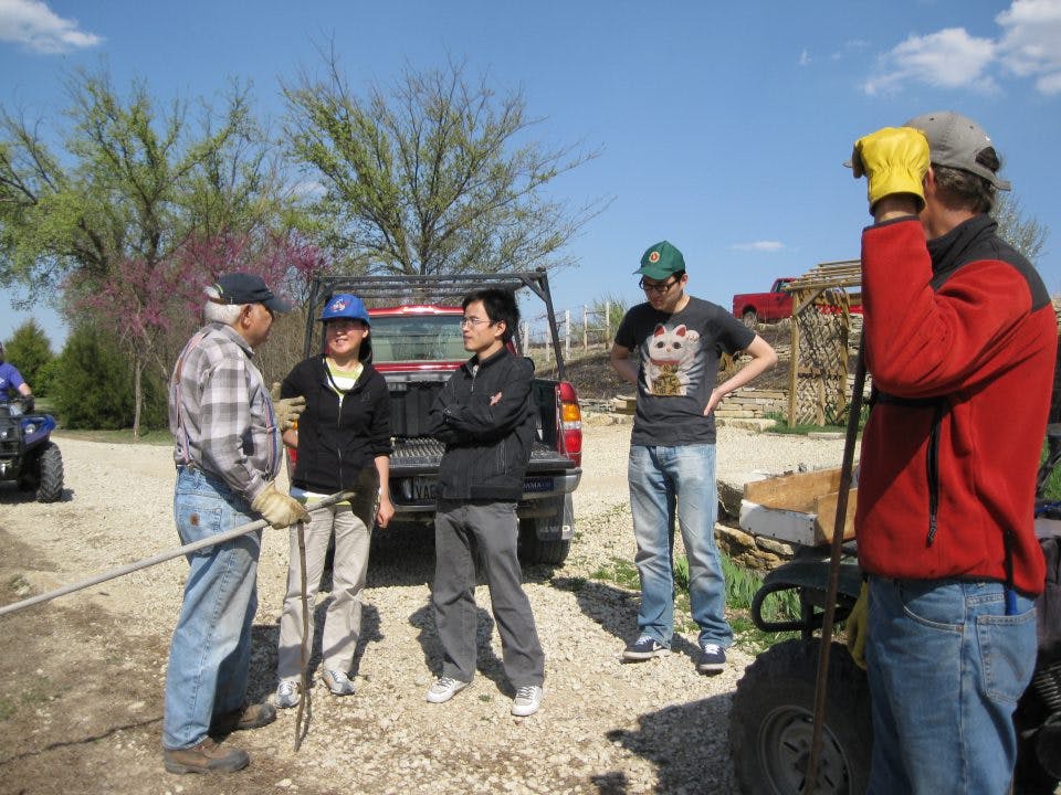
Burning is a coordinated activity. The image below, taken several years ago, shows Kansas State University graduate students planning the burn with my neighbors (this year we coordinated by phone). Around our house, my wife and I prepare by cutting the grass and setting out water hoses. When the time comes, we start a fire around the periphery.
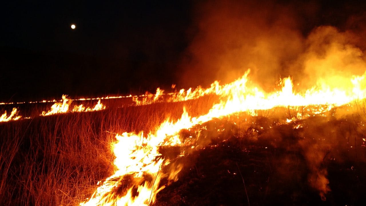
The wind blows the flames, and they race up the hills. Sometimes we burn late in the evening.
Professional photographers like Jim Richardson and James Nedresky capture iconic images.
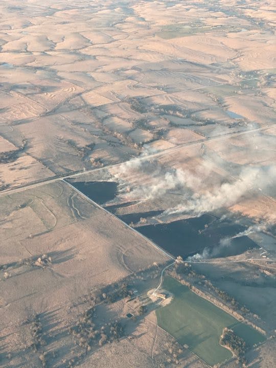
Brian Hardeman, President of Thunderhead, is a private pilot and shared some photos of fires from the air.

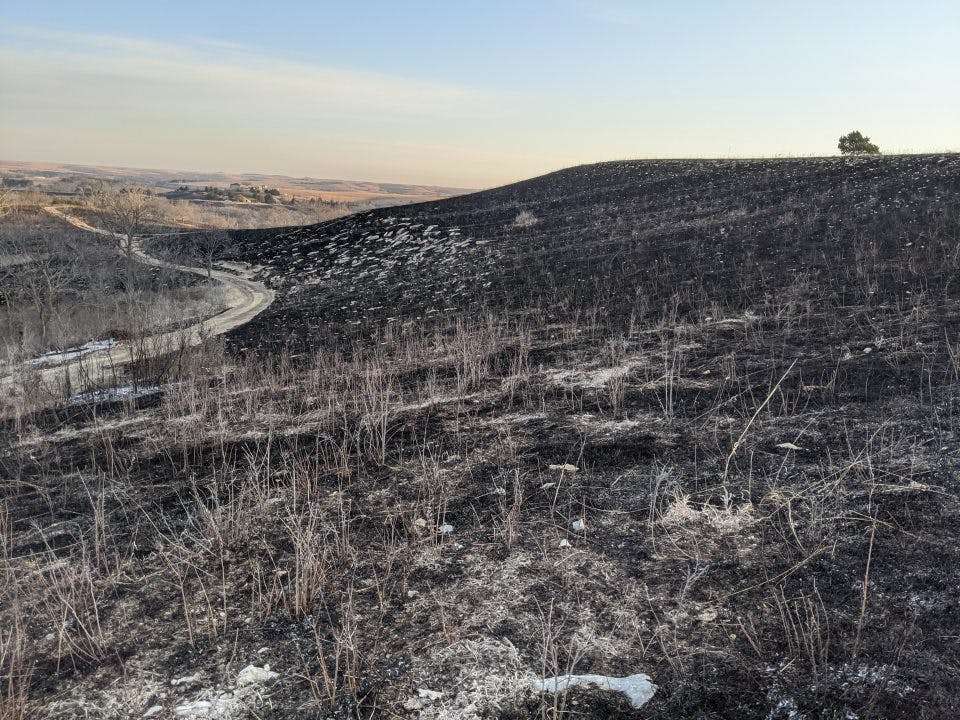
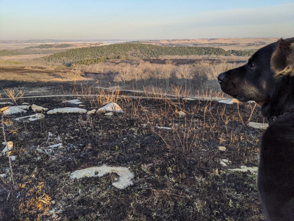
And this is the prairie the next morning. The second picture shows a hill in the distance that has been taken over by cedar trees because the land has not been burned.
Posted by: Daniel Swenson
More Information
The original tallgrass prairie covered 170 million acres (70 million hectares) of North America from Texas to Canada. Approximately 4 million acres (1.6 million hectares) remain. The Konza Prairie Biological Station operated by Kansas State University in cooperation with the Nature Conservancy is devoted to research of the prairie.
Pressure from European settlement on the Atlantic Coast forced the Kanza (or Kansa) people to migrate west from the Ohio valley to present-day Kansas City and the Kansas River Valley to the west. In a devastating series of treaties, their 20 million-acre domain was reduced to a 2 million-acre reservation and then to a 256,000-acre reservation at present-day Council Grove, Kansas. After the civil war white pressure finally forced the Kaw out of Kansas to Kay County, Oklahoma (Kaw Nation, The Darkest Period: The Kanza Indians and Their Last Homeland, 1846-1873 by Ronald D. Parks, Kaw people).
In the 16th century, an estimated 30 to 60 million bison lived in North America. Mass destruction of the once great herds of bison began in 1830. By 1884 there were around 325 wild bison left in the United States - including 25 in Yellowstone. By 1990 an estimated 20,000-25,000 bison were in public herds in North America and at least 250,000 bison in private herds by end of the decade (US Fish and Wildlife Service).